The trails
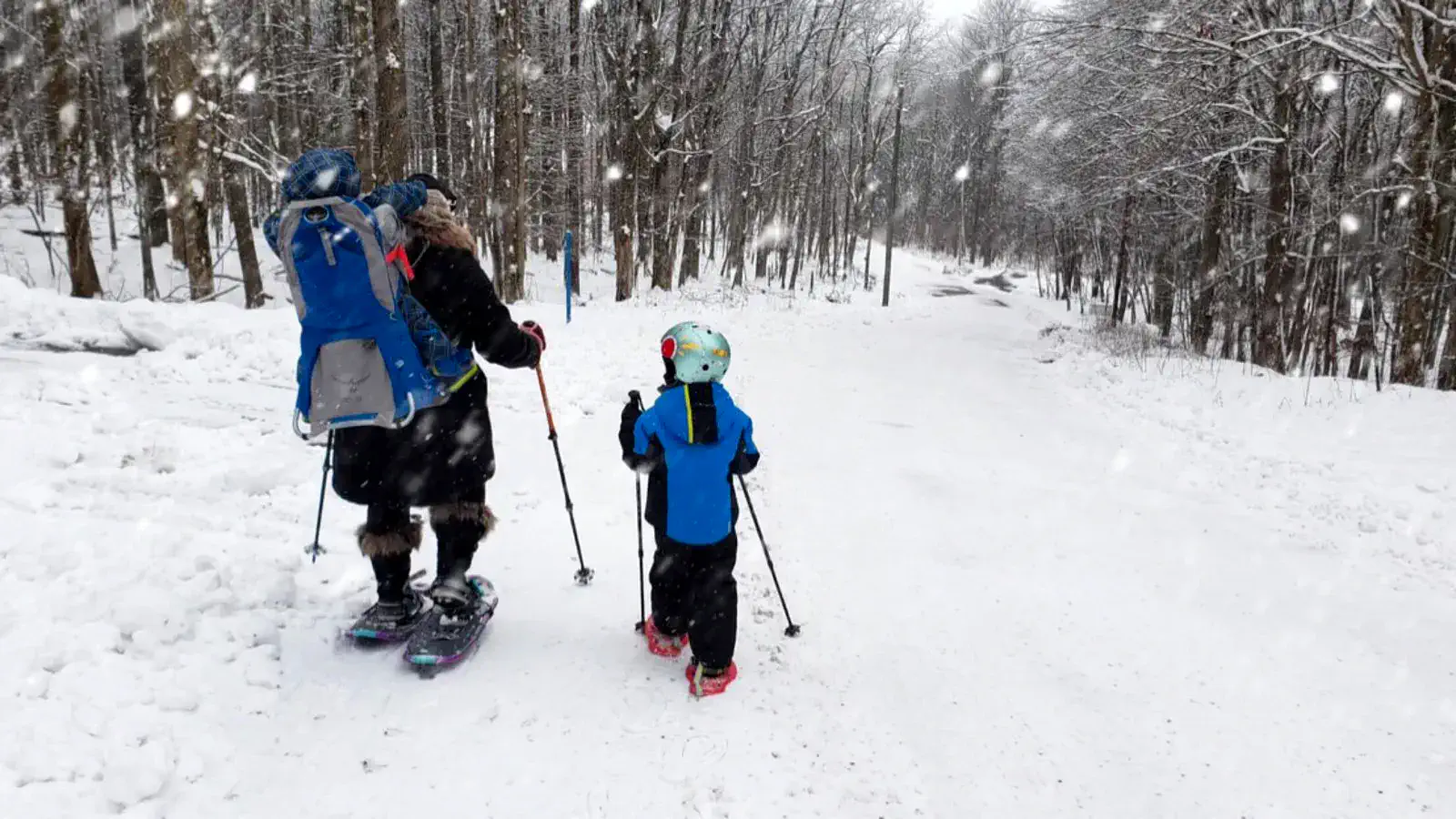
Alpine Lake has more than 17 miles of natural-surface trails, typically 2–4 feet wide, for hiking and mountain biking, and for snowshoeing in winter. After heavy rain, take care: trails can turn hazardous.
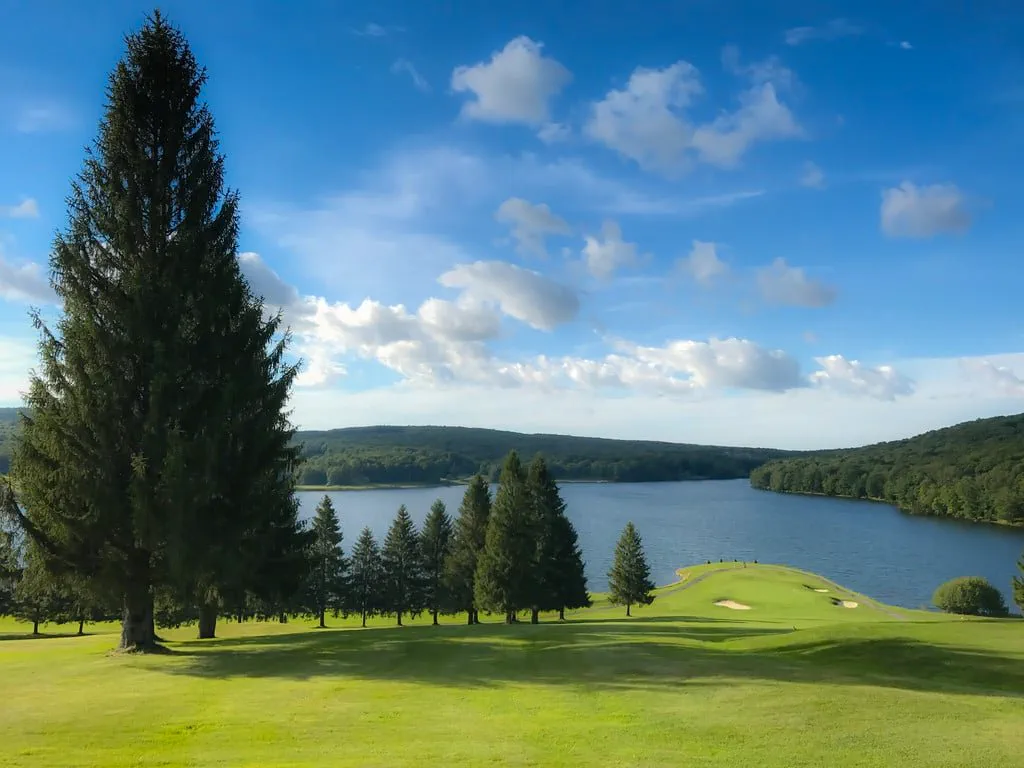
- Lake Side Loop · 2.85 mi · Easiest. From the Clubhouse, Boat House or Grosbeak Road, round the lake, across the dam and through the golf course.
- Lake View Circle · 0.3 mi from the Lodge · Easiest. Drops down through the wooded common area near the water.
- Novice Loop · 0.33 mi · Easiest. Beside the tennis courts, for a practice run.
- Seven Bridges Trail · 1 mi · More difficult. A closer-to-the-lake option on the eastern side of the Lake Side Loop.
- Azalea Lane Connector · 0.6 mi · More difficult. Links the Lake Side Loop to Burchinal and Matterhorn.
- Burchinal Trail · 1.7 mi · Most difficult. From Grosbeak Drive to the end of Burchinal Road.
- Castle Rock Trail · 2.3 mi · Most difficult. Through the woods near the Maryland line to Castle Rock.
- Matterhorn Trails · 4.5 mi · Most difficult. Up to the Old Firetower peak, the highest point at Alpine Lake.